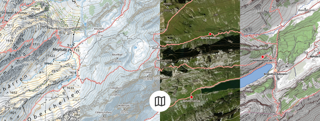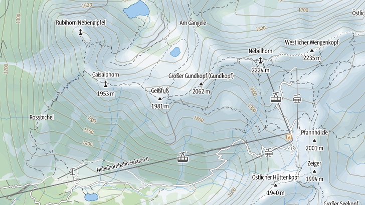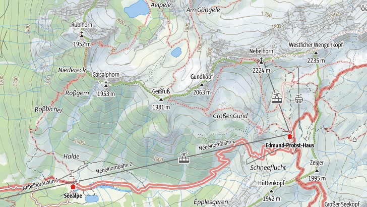
Make the most of your time in the outdoors with the best maps available
With slope gradients, contour lines, and trails for all the activities you could want, the highly detailed maps we offer give you all information you need for planning the perfect outdoor experience. They also automatically adapt to the desired zoom level without long loading times.

OpenStreetMap Map
OpenStreetMap lets you plan and save routes worldwide and without any limitations.
-
© OpenStreetMap (ODbL) - Mitwirkende - www.openstreetmap.org
-
© Natural EarthMade with Natural Earth. Free vector and raster map data @ naturalearthdata.com
-
© Sonny - https://sonny.4lima.de/

The Outdooractive Map
The Outdooractive Map contains official data. Editorially prepared trail networks for activities enable the best planning and results with everything you need to know about route conditions and the terrain being visible at a glance.
Germany
- © GeoBasis-DE / BKG 2021
- © GeoBasis-DE / LDBV 2023
- Bayerische Vermessungsverwaltung
Switzerland
- Geodata © swisstopo - www.swisstopo.admin.ch
France
- © IGN - 2023 - www.ign.fr
Austria
Northern Italy
- © Autonomous Province of Bolzano - South Tyrol - Department of Nature, Landscape and Spatial Development.
-
© Cartago S.R.L. (Trentino)
-
© 1994-2022 here. All Rights reserved.
Great Britain (County of Suffolk)
- © Contains OS data © Crown copyright and database rights 2023
Topographic Maps
- Geodaten © swisstopo
- Contains OS data © Crown copyright and database rights 2023
- © GeoBasis-DE / BKG
- © IGN - 2023
- © BEV - www.bev.gv.at
- © Kartverket
- © Lantmäteriet
- © Kortforsyningen
- © National Land Survey of Finland
- © PDOK - Publieke Dienstverlening op de Kaart
- © NGI-IGN - Nationaal Geografisch Instituut België
- © ACT - Administration du Cadastre et de la Topographie Luxembourg
- © Land Information New Zealand
- © USGS - courtesy of the U.S. Geological Survey
- © CNIG - Centro Nacional de Información Geográfica
- © ValtellinaOutdoor
- © FRATERNALI EDITORE
- © Edizione il Lupo
- © 4LAND
- © Monti Editore
- © Geospatial Information Authority of Japan (GSI)
- © Anavasi Editions
- © Visionmap
- © InfoCartoGrafica
- © Geo4Map
- © GlobalMap
- © Cartago S.R.L.
- © Discovery Walking Guides
- © Government of Canada - Natural Resources Canada
- © CIGeoE - Centro de Informação Geoespacial do Exército
- © Ordnance Survey Ireland. All rights reserved. Licence number LP_OAY1_21_2_22v1.0
- © Ordnance Survey Northern-Ireland
- © Commonwealth of Australia (Geoscience Australia)
- © Department of Finance, Services & Innovation (New South Wales Government)
- © State of Queensland
- © State of Tasmania
As part of selected products, map series from the Alpine Clubs, Kompass, ADFC or HARVEY Maps are also included.
Alpine Club map
-
© DAV, OeAV - ©LDBV - ©BEV
Kompass
- © KOMPASS-Karten GmbH contributors
- Imagery © KOMPASSmaps
Allgemeiner Deutscher Fahrradclub - Bielefelder Verlag
- © ADFC-BVA
HARVEY Maps
- © HARVEY Maps
In case of doubt or legal dispute the German version shall be the only valid version.